
GPS Drones
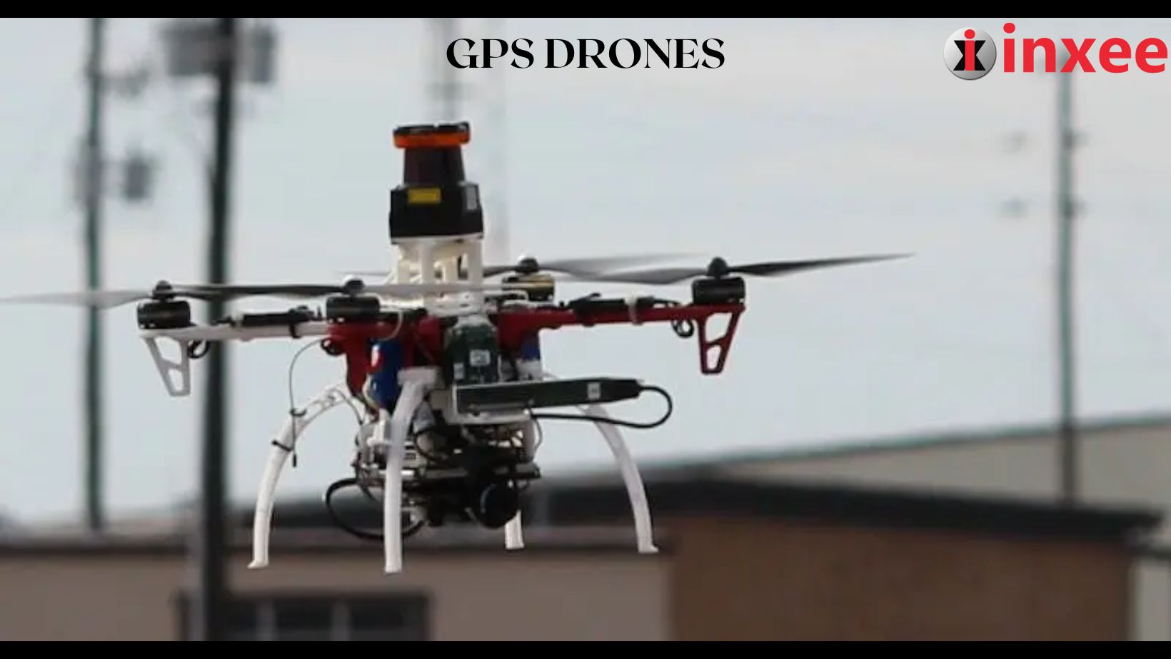
GPS drones have become increasingly popular in recent years, thanks to their ability to provide highly accurate and reliable positioning data. But how exactly do they work? In this article, we’ll take a closer look at the technology behind GPS drones and how they’re able to navigate through the skies with pinpoint accuracy.
What is GPS?
GPS stands for Global Positioning System, a satellite-based navigation system that was first developed by the United States Department of Defense in the 1970s. It uses a network of 24 satellites that orbit the Earth to provide precise location and timing information to GPS receivers on the ground.
How do GPS Drones Work?
GPS drones use this same technology to determine their precise location in the sky. The drone’s GPS receiver picks up signals from multiple GPS satellites and uses the timing information from each signal to calculate the drone’s exact position in three-dimensional space.
To achieve this level of accuracy, GPS drones typically use multiple GPS receivers. Some drones may use as many as six or more receivers to ensure that they’re able to maintain a strong signal even in challenging environments.
Once the drone has determined its precise location, it can then use this information to navigate through the skies. By comparing its current location to a pre-programmed flight path or user input, the drone can adjust its flight path to reach its destination with maximum efficiency.
Benefits of GPS Drones
One of the primary benefits of GPS drones is their ability to fly autonomously, without the need for direct human control. This makes them ideal for a wide range of applications, from surveying and mapping to aerial photography and search and rescue operations.
In addition to their autonomous flight capabilities, GPS drones also offer highly accurate positioning data. This makes them useful for a variety of applications where precise location information is essential, such as agriculture, construction, and environmental monitoring.
GPS technology has revolutionized the way that drones are able to navigate through the skies. By using a network of satellites to provide precise location and timing information, GPS drones are able to fly autonomously and provide highly accurate positioning data. As this technology continues to evolve, we can expect to see even more advanced GPS drones in the future, offering new and innovative capabilities for a variety of applications.


Leave a Reply